
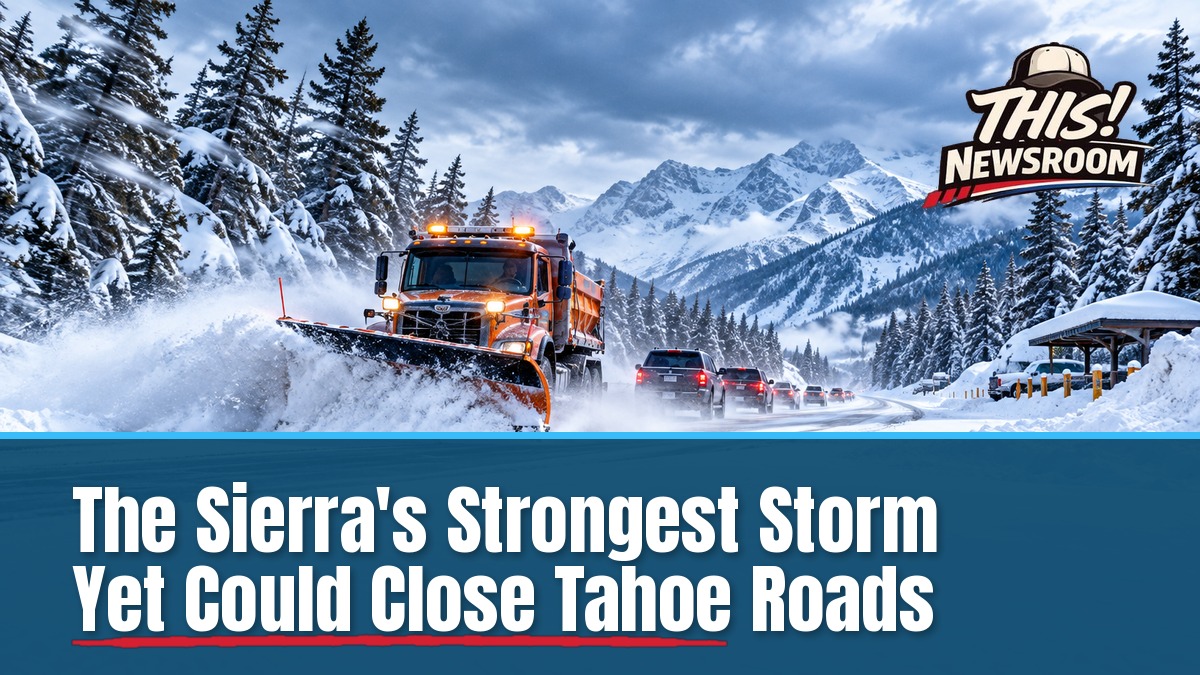
If you’re planning to cross the Sierra this week, the clock is already ticking. A winter storm warning for Northern California takes effect Tuesday night, and the National Weather Service says travel across the Sierra could go from very difficult to flat-out impossible.
The smart move is to cross the mountains before the snow starts.
The warning, issued by NWS Sacramento at 10:05 a.m. Monday, covers elevations above 4,000 feet in the Sierra Nevada and southern Cascades. It runs from 10 p.m. Tuesday until 4 a.m. Friday, Nov. 20.
How big is this winter storm warning?
Bigger than a single office’s map. The warning spans 28 zones across California and Nevada. Sacramento covers 12 of them, including the northern Sierra along I-80 and Highway 50, Lassen Volcanic National Park and the Coast Range above 3,000 feet.
Start times vary by office. Sacramento-area zones begin between 4 p.m. and 10 p.m. Tuesday. The Reno and Hanford zones run from 4 a.m. Wednesday to 4 a.m. Friday. The Siskiyou and Trinity zones start at 7 p.m. Tuesday and end early Thursday.
NWS Sacramento was direct about what’s coming. “The strongest storm of the season thus far arrives Wed AM!” the office posted on X.
How much Sierra snowstorm and wind are coming?
Forecasters expect 1 to 3 feet of snow above 6,000 feet from Tuesday night through Thursday, according to Active NorCal. The National Weather Service puts the odds of at least 24 inches above 5,000 feet at 90 to 100 percent.
Wind is the other half of the problem. Reno forecasters expect gusts above 70 mph on Sierra ridges by Wednesday morning. The Sacramento Valley and Delta could see gusts of 40 to 50 mph.
Snow levels start near 3,500 to 4,500 feet Tuesday night, then climb to roughly 4,500 to 5,500 feet Wednesday. They could drop to 5,000 feet or lower by early Thursday, per KOLO in Reno. Lake-level Reno could pick up 6 inches or more Wednesday.
Totals vary by source and elevation. Some outlets float higher numbers, and AccuWeather has talked about 3 feet with winds near 80 mph. Treat every figure as a forecast, not a result.
Here’s the thing: this winter storm is already round two
The mountains have barely dried out. A storm on Friday, Nov. 13 delivered the first big snow of the season and closed I-80 from Colfax to the Nevada line, with chain controls on Highway 50. Sugar Bowl, Homewood and Mammoth each picked up about 13 inches.
Over the weekend, high surf flooded streets in Pacifica and damaged the Capitola wharf. Now a colder, stronger system is lining up behind it. California has seen this kind of buildup before, and our look at the state’s emergency declaration over a powerful El Niño shows how fast a wet winter can snowball.
The NWS alert warns that gusty winds could bring down tree branches and sharply cut visibility. For anyone driving over the mountains this week, that could mean long delays and hard conditions on the road.
What to do when the storm warning hits
No specific closures or chain-control orders have been announced for this storm yet. That will likely change quickly once the snow falls. For a refresher on why alerts like this deserve attention, see our explainer on what a winter weather advisory means for drivers.
- Check Caltrans QuickMap before you cross the Sierra, and again before you leave.
- Travel before Wednesday morning if you can. AccuWeather’s advice is to go ahead of the stronger storm.
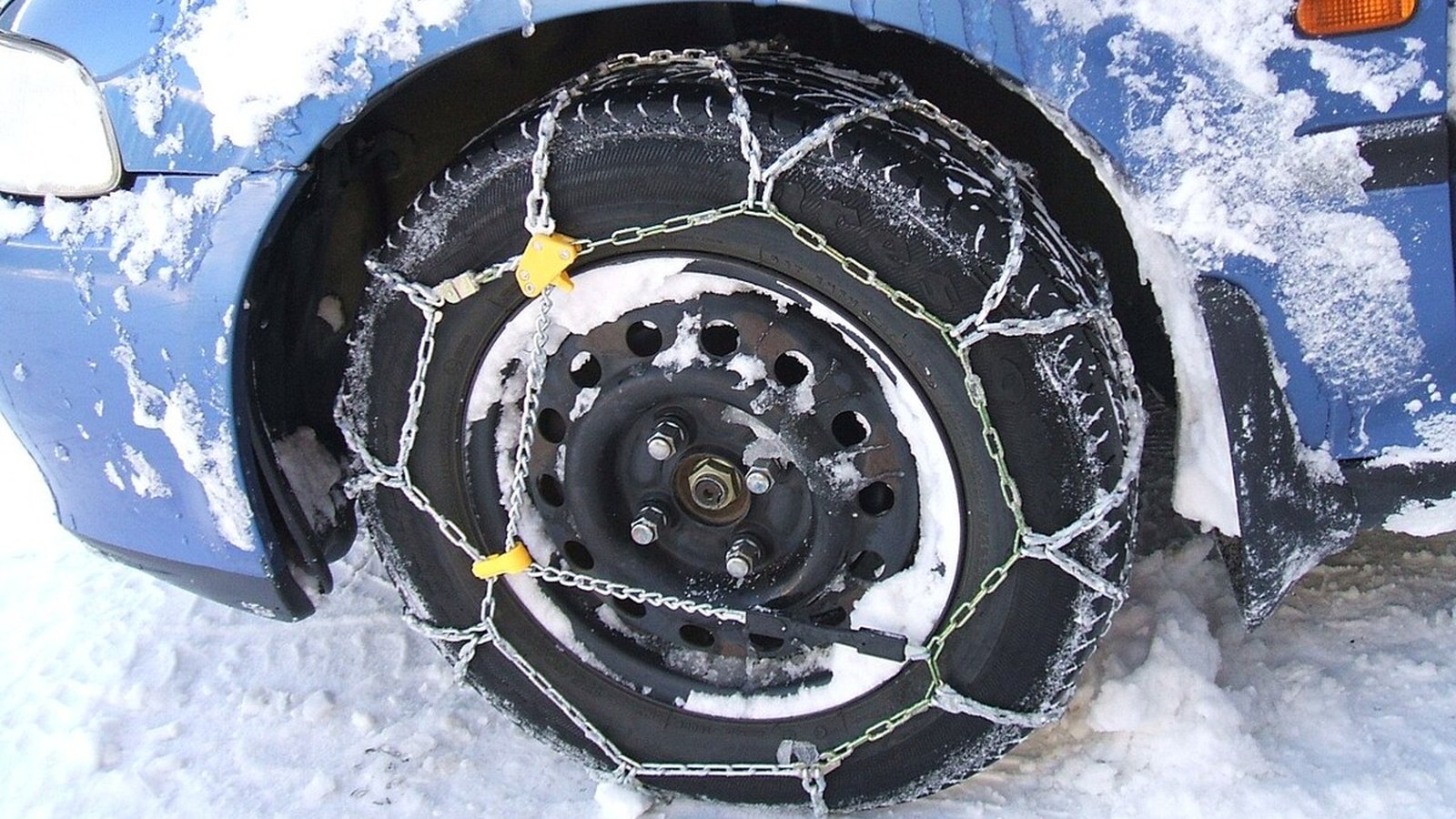
- Pack chains, water, a charger and warm layers. Assume you could sit still for hours.
- Watch for NWS Sacramento updates and possible PG&E outages in the wind.
The warning expires at 4 a.m. Friday, though KCRA says snow could linger into Friday morning. And the break won’t last: Reno’s KOLO says another storm arrives Sunday morning and lasts through Sunday night. If you can postpone your trip, this is the week to think about it.