

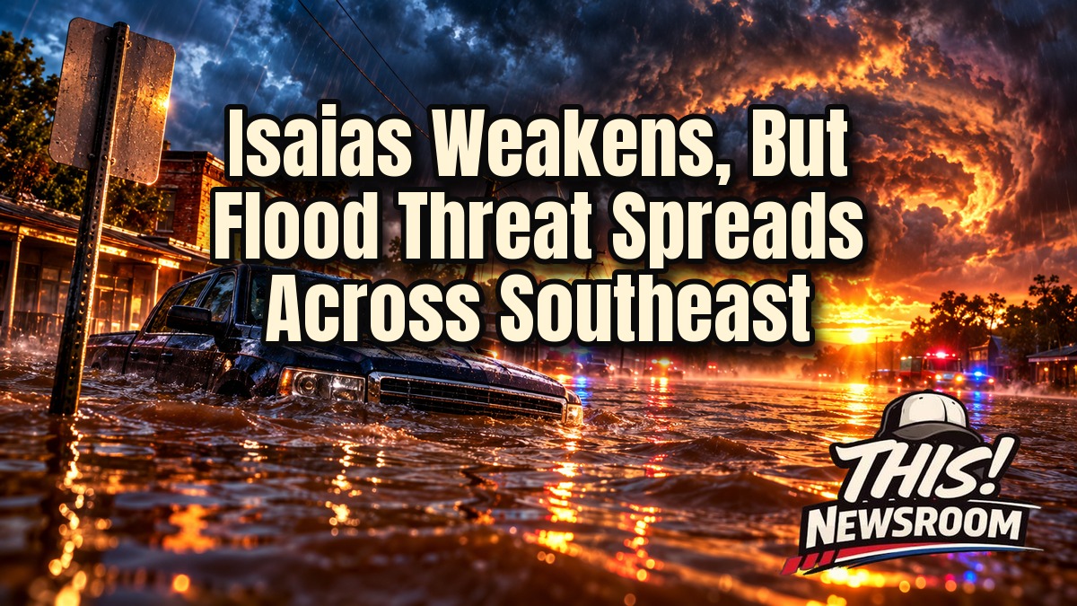
The Isaias flooding threat is far from over, even though the storm itself is falling apart. The National Hurricane Center declared Isaias a post-tropical cyclone at 2 a.m. ET Saturday, according to ABC News. By the 5 a.m. advisory, its sustained winds had dropped to about 35 mph.
That sounds like good news. For the most part it is. But a weak storm can still hold a lot of water.
From Category 3 to a Soggy Remnant
Isaias was a Category 3 with 120 mph winds earlier on Friday, Oct. 9. It eased to a Category 2 and came ashore near Destin, Florida, at about 8:30 p.m. Central time, with 105 mph winds, NBC News reported, citing the hurricane center. If you missed the run-up, our earlier coverage of the storm’s surge forecast shows how quickly the picture changed.
Then it fell apart quickly. Local reports say it weakened over Alabama faster than forecasters expected. Around Birmingham, ABC 33/40 reported downed trees, downed power lines and scattered outages, but less damage than feared. Early Saturday, the storm’s center sat about 25 miles south-southwest of Montgomery, moving north at 14 mph. The Isaias flood risk didn’t shrink with the wind, though.
Why the Isaias Flooding Threat Isn’t Going Away
Wind is only half the story. Rain is the other half, and the totals are already large. Measured rainfall includes 12.97 inches in Bellwood, Alabama, and 12.47 inches in DeFuniak Springs, Florida, per ABC News. In Panama City Beach, a NOAA gauge recorded 5.6 feet of storm surge, according to CBS Miami.
Forecasters expect 4 to 8 inches across southern Alabama, the Florida Panhandle and Big Bend, and southwest Georgia. Some spots could see up to 15 inches. Farther out, The Weather Channel says 2 to 5 inches are possible across the rest of the Southeast, with isolated totals near 10 inches in the southern Appalachian foothills and coastal Carolinas.
The flooding focus shifts on Saturday from the Florida Big Bend to the southern Appalachians. In short, Atlanta, Nashville and Memphis could see the worst of it.
Power Outages Add to the Southeast Flood Threat
More than 884,000 customers were without power Saturday morning across Georgia, Florida and Alabama, according to CBS News. Wind advisories remain up, with sustained winds of 20 to 30 mph and gusts up to 50 mph possible through Sunday morning. Dark homes and rising water make the Southeast flood threat harder to manage.
Both Florida and Alabama declared states of emergency before landfall. Florida also put about 5,000 National Guard members on standby. Alabama Gov. Kay Ivey warned her state to expect strong winds, heavy rain and the chance of spinoff tornadoes. Travelers felt it too, as Delta’s travel waiver for nine Gulf Coast airports shows.
What Comes Next
Here’s the thing about a storm that has lost its name and its structure: it can still drop a month of rain in a day. Saturday’s forecast shows moisture still moving north and east. Isaias flash flooding is a big reason officials keep urging people to stay off flooded roads.
The system is expected to cross Alabama into the Tennessee Valley and dissipate Sunday, Oct. 11. Even so, its moisture should reach the I-95 corridor and the Northeast. A flood watch also remains in effect for southeast North Carolina through Sunday night.
The Carolinas face the highest risk of Isaias-related tornadoes on Sunday, per AccuWeather. Meanwhile, the hurricane center does not expect any new tropical cyclone to form in the Atlantic, Caribbean or Gulf over the next week.
Damage totals, final outage numbers and any casualty counts are still unknown. The sources reviewed so far report no deaths. For millions of people across the Southeast, the Isaias flooding threat will define the next 48 hours: it’s about water, not wind.